|
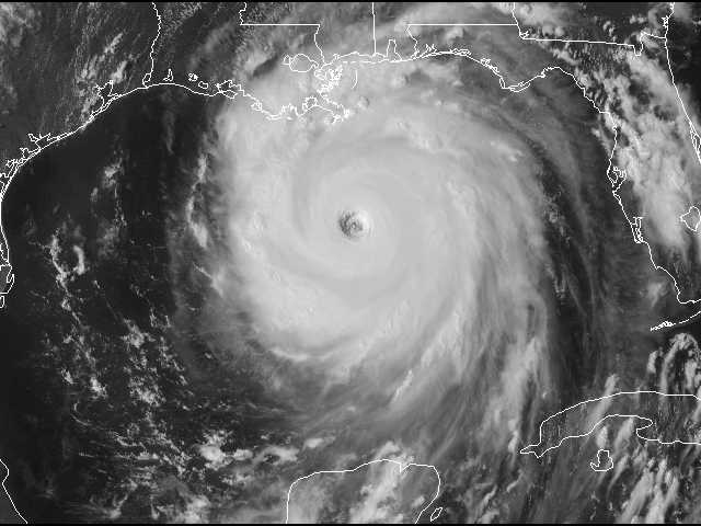
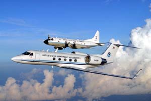
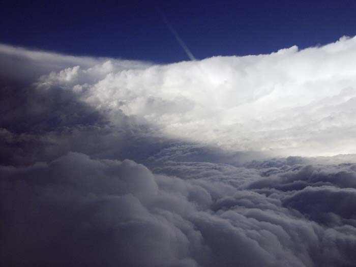
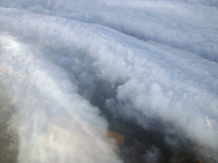
RAINEX will study this interaction using data recorded from hurricane research flights. Beginning Aug. 15 through the remainder of this year's Atlantic hurricane season, two NOAA P3 aircraft, along with a U.S. Navy P3 aircraft will fly simultaneously into hurricanes well before they threaten landfall. Flying in the hurricane's outer bands and punching into the eyewall on most flights, the aircraft will use sophisticated Doppler radar and GPS dropsondes to record wind speed and direction, temperature, humidity, atmospheric pressure, and other critical data.
The University of Washington and NCAR will provide expertise in airborne Doppler radar analysis. Rosenstiel School will construct a state-of-the-art hurricane model using the data collected from the research flights.
The University of Washington and NCAR will provide expertise in airborne Doppler radar analysis. Rosenstiel School will construct a state-of-the-art hurricane model using the data collected from the research flights.
"National Science Foundation funding allows the Navy aircraft to be added to the research. It will play a key role by observing the outer part of the storm while the other two aircraft observe the inner part," said Dr. Robert A. Houze Jr., a professor in atmospheric sciences at the University of Washington and a principal investigator. "Ideally, we'll obtain a physical explanation of a hurricane's intensity change in terms of the relationship between the inner and outer parts of the storm. These storms can jump up in intensity or drop a full category in a day, and the intensity changes are a big challenge."
Much of what scientists currently know about the interaction between the outer rainbands and the eyewall of a hurricane comes from the state-of-the-art numerical models developed for hurricane research and prediction, which can provide very detailed information but may not be completely accurate. But what researchers need is solid data to validate these models.
One of the breakthrough aspects of RAINEX is the use of the three Doppler radar-equipped aircraft. Although eyewall flights are a routine part of hurricane research, this is the first field study to include simultaneous flights in and near rainbands.
- uwnews.org
|